Elected Officials
Courts
Departments
Initiatives
Open Government
About
Login / Register
Home
/
Property & Tax Records
/
Property Records
/
Property & Tax Search
/
Parcel Profile
/
Print View
Search for Another Parcel
Parcel Profile
Historical Card
Sketches
Photos
Tax Map
Taxes
Print View
Print This Page
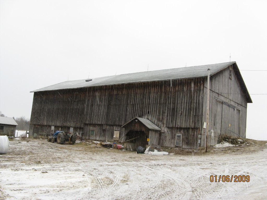
Address: FULLER RD
Parcel: 44020050000500
Parcel Profile
Address
0 | FULLER | RD
Street Status
UNPAVED
School District
WATTSBURG SCHOOL
Acreage
105.0000
Classification
F
Land Use Code
OUT BUILDINGS ONLY: NOT LIVING UNITS
Legal Description
FULLER RD LOT B | 105 AC CAL.
Topo
ROLLING
Utility
NONE
Zoning
Please contact your municipal zoning officer
Deed Book
0605
Deed Page
0987
2026 Tax Values
Land Value / Taxable
175,900 / 57,100.00
Building Value / Taxable
40,800 / 40,800.00
Total Value / Taxable
216,700 / 97,900.00
Clean & Green
Active
Homestead Status
Inactive
Farmstead Status
Inactive
Lerta Amount
0
Lerta Expiration Year
0
Other Buildings & Yards
No OBY Data Found
Sales History
Sale Date
Type
Price
Book / Page
Other Info
12/11/1998
0
0605 / 0987
Parcel Sketches
Invalid Parcel Number or No Sketches on File
Parcel Images
Please note:
this tab is for informational purposes only and may not show all delinquencies, see the Taxes tab for more accurate delinquent taxes due.