Elected Officials
Courts
Departments
Initiatives
Open Government
About
Login / Register
Home
/
Property & Tax Records
/
Property Records
/
Property & Tax Search
/
Parcel Profile
/
Print View
Search for Another Parcel
Parcel Profile
Historical Card
Sketches
Photos
Tax Map
Taxes
Print View
Print This Page
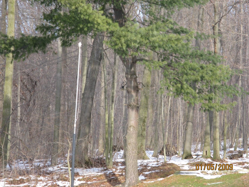
Address: HILLSIDE DR
Parcel: 44021028000910
Parcel Profile
Address
0 | HILLSIDE | DR
Street Status
PAVED
School District
WATTSBURG SCHOOL
Acreage
0.0203
Classification
R
Land Use Code
RES VACANT
Legal Description
OFF HILLSIDE DR 41.6 X 21.23 X 46 TRI
Topo
ABOVE STREET
Utility
GAS | WELL | SEPTIC
Zoning
Please contact your municipal zoning officer
Deed Book
1006
Deed Page
0108
2026 Tax Values
Land Value / Taxable
2,400 / 2,400.00
Building Value / Taxable
0 / 0.00
Total Value / Taxable
2,400 / 2,400.00
Clean & Green
Inactive
Homestead Status
Inactive
Farmstead Status
Inactive
Lerta Amount
0
Lerta Expiration Year
0
Other Buildings & Yards
No OBY Data Found
Sales History
Sale Date
Type
Price
Book / Page
Other Info
7/10/1969
0
1006 / 0108
Parcel Sketches
Invalid Parcel Number or No Sketches on File
Parcel Images
Please note:
this tab is for informational purposes only and may not show all delinquencies, see the Taxes tab for more accurate delinquent taxes due.