Elected Officials
Courts
Departments
Initiatives
Open Government
About
Login / Register
Home
/
Property & Tax Records
/
Property Records
/
Property & Tax Search
/
Parcel Profile
/
Print View
Search for Another Parcel
Parcel Profile
Historical Card
Sketches
Photos
Tax Map
Taxes
Print View
Print This Page
Address: 12150 LAY RD
Parcel: 45018037001101
Parcel Profile
Address
12150 | LAY | RD
Street Status
PAVED
School District
GENERAL MCLANE SCHOOL
Acreage
0.4224
Classification
R
Land Use Code
SINGLE FAMILY
Legal Description
12150 LAY RD 100 X 184.48
Square Feet
1533
Topo
ROLLING
Utility
PUBLIC SEWER | GAS | WELL
Zoning
Please contact your municipal zoning officer
Deed Book
2026
Deed Page
011036
2026 Tax Values
Land Value / Taxable
28,400 / 28,400.00
Building Value / Taxable
110,580 / 110,580.00
Total Value / Taxable
138,980 / 138,980.00
Clean & Green
Inactive
Homestead Status
Active
Farmstead Status
Inactive
Lerta Amount
0
Lerta Expiration Year
0
Residential Data
Card 1
Style
CAPE
Basement
FULL
Year Built
1978
Exterior Wall
COMPOSITION
Total Living Area
1533
Full Baths
1
Half Baths
0
Fuel Type
GAS
Heating
CENTRAL
Heating System
FORCED AIR
Stories
1.5
Total Bedrooms
3
Total Family Rooms
0
Total Rooms
5
Fireplaces
2
Other Buildings & Yards
No OBY Data Found
Sales History
Sale Date
Type
Price
Book / Page
Other Info
6/25/2026
LAND & BUILDING
319000
2026 / 011036
SPECIAL WARRANTY DEED
9/16/2024
LAND & BUILDING
279900
2024 / 014896
SPECIAL WARRANTY DEED
5/21/2024
LAND & BUILDING
150000
2024 / 007563
SPECIAL WARRANTY DEED
9/22/2006
LAND & BUILDING
150000
1363 / 1362
WARRANTY/SURVIVORSHIP DEED
3/26/1979
0
1342 / 0507
Parcel Sketches
Residential Card 1
A
MAIN
876 square feet
B
EFP ENCL FRAME PORCH
160 square feet
C
FR GR FRAME GARAGE
462 square feet
D
OFP OPEN FRAME PORCH
24 square feet
E
WDDCK WOOD DECKS
96 square feet
F
WDDCK WOOD DECKS
168 square feet
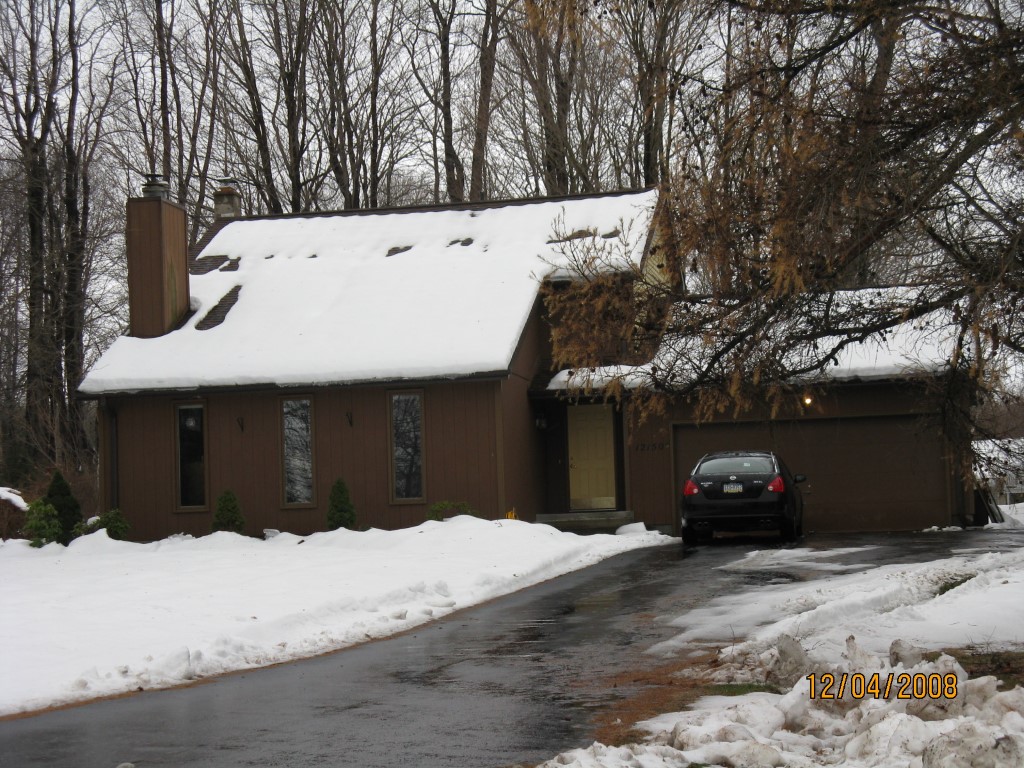
Parcel Images
Please note:
this tab is for informational purposes only and may not show all delinquencies, see the Taxes tab for more accurate delinquent taxes due.