Elected Officials
Courts
Departments
Initiatives
Open Government
About
Login / Register
Home
/
Property & Tax Records
/
Property Records
/
Property & Tax Search
/
Parcel Profile
/
Print View
Search for Another Parcel
Parcel Profile
Historical Card
Sketches
Photos
Tax Map
Taxes
Print View
Print This Page
Address: OLD STATE RD
Parcel: 47015034000600
Parcel Profile
Address
0 | OLD STATE | RD
Street Status
PAVED
School District
FORT LEBOEUF SCHOOL
Acreage
52.2300
Classification
F
Land Use Code
OUT BUILDINGS ONLY: NOT LIVING UNITS
Legal Description
OLD STATE RD TR B & 404 | 52.23 AC
Topo
ROLLING
Utility
NONE
Zoning
Please contact your municipal zoning officer
Deed Book
0616
Deed Page
2385
2026 Tax Values
Land Value / Taxable
87,700 / 87,700.00
Building Value / Taxable
14,900 / 14,900.00
Total Value / Taxable
102,600 / 102,600.00
Clean & Green
Inactive
Homestead Status
Inactive
Farmstead Status
Inactive
Lerta Amount
0
Lerta Expiration Year
0
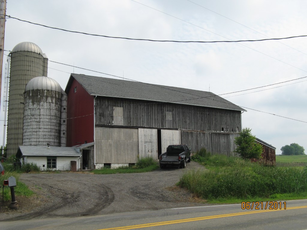
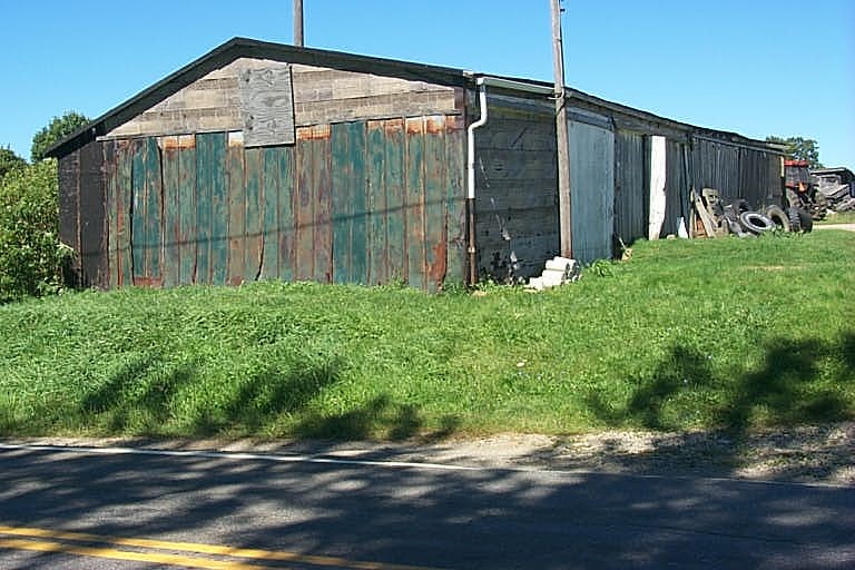
Other Buildings & Yards
Description
Built
Width
Length
Area
BANK BARN
1920
44
70
3080
BANK BARN ADDITION
1925
22
44
968
ATTACHED CB MILK HOUSE
1920
15
21
315
FRAME UTILITY SHED
1920
24
70
1680
FRAME UTILITY SHED
1920
16
30
480
CONCRETE STAVE WITH ROOF
1920
14
30
4616
CONCRETE STAVE WITH ROOF
1940
16
60
12058
1S FRAME OR METAL POULTRY HSE
1920
23
50
1150
FRAME UTILITY SHED
1920
21
30
630
STEEL GRAIN BIN W/O DRYING BIN
1930
14
20
3077
STEEL GRAIN BIN W/O DRYING BIN
1930
14
20
3077
Sales History
Sale Date
Type
Price
Book / Page
Other Info
2/2/1999
0
0616 / 2385
Parcel Sketches
Invalid Parcel Number or No Sketches on File
Parcel Images
Please note:
this tab is for informational purposes only and may not show all delinquencies, see the Taxes tab for more accurate delinquent taxes due.