Elected Officials
Courts
Departments
Initiatives
Open Government
About
Login / Register
Home
/
Property & Tax Records
/
Property Records
/
Property & Tax Search
/
Parcel Profile
/
Print View
Search for Another Parcel
Parcel Profile
Historical Card
Sketches
Photos
Tax Map
Taxes
Print View
Print This Page
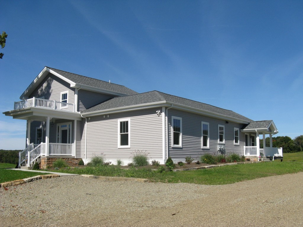
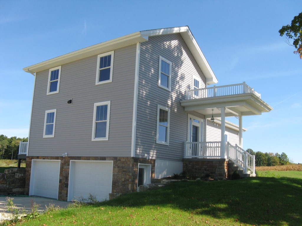
Address: 1828 ROUTE 97
Parcel: 47033053001400
Parcel Profile
Address
1828 | ROUTE 97
Street Status
PAVED
School District
FORT LEBOEUF SCHOOL
Acreage
82.1200
Classification
F
Land Use Code
80 ACRES OR MORE
Legal Description
1828 ROUTE 97 82.12 AC
Square Feet
2748
Topo
ROLLING
Utility
GAS | WELL | SEPTIC
Zoning
Please contact your municipal zoning officer
Deed Book
2012
Deed Page
012098
2026 Tax Values
Land Value / Taxable
158,200 / 158,200.00
Building Value / Taxable
118,800 / 118,800.00
Total Value / Taxable
277,000 / 277,000.00
Clean & Green
Inactive
Homestead Status
Inactive
Farmstead Status
Inactive
Lerta Amount
0
Lerta Expiration Year
0
Residential Data
Card 1
Style
OLD STYLE
Basement
FULL
Year Built
1860
Exterior Wall
ALUMINUM/VINYL
Total Living Area
2748
Full Baths
2
Half Baths
0
Fuel Type
GAS
Heating
CENTRAL A/C
Heating System
FORCED AIR
Stories
2.0
Total Bedrooms
5
Total Family Rooms
0
Total Rooms
9
Fireplaces
1
Other Buildings & Yards
Description
Built
Width
Length
Area
FOUR SIDE OPEN MTL POLE BLDG
2014
32
40
1280
Sales History
Sale Date
Type
Price
Book / Page
Other Info
5/11/2012
LAND & BUILDING
0
2012 / 012098
CORRECTIVE DEED
5/16/2003
LAND & BUILDING
0
1012 / 0026
WARRANTY/SURVIVORSHIP DEED
11/14/1996
LAND & BUILDING
180000
471 / 574
Parcel Sketches
Residential Card 1
A
MAIN
672 square feet
B
1S FR ONE STORY FRAME
1404 square feet
C
OMP OPEN MASONRY PORCH BALCONY
100 square feet
D
WDDCK WOOD DECKS
240 square feet
E
WDDCK WOOD DECKS
240 square feet
F
OFP OPEN FRAME PORCH
60 square feet
Parcel Images
Please note:
this tab is for informational purposes only and may not show all delinquencies, see the Taxes tab for more accurate delinquent taxes due.