Elected Officials
Courts
Departments
Initiatives
Open Government
About
Login / Register
Home
/
Property & Tax Records
/
Property Records
/
Property & Tax Search
/
Parcel Profile
/
Print View
Search for Another Parcel
Parcel Profile
Historical Card
Sketches
Photos
Tax Map
Taxes
Print View
Print This Page
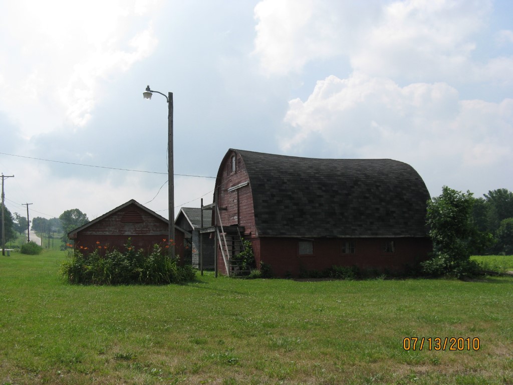
Address: 2095 ROUTE 97
Parcel: 47033086000700
Parcel Profile
Address
2095 | ROUTE 97
Street Status
PAVED
School District
FORT LEBOEUF SCHOOL
Acreage
4.8800
Classification
F
Land Use Code
OUT BUILDINGS ONLY: NOT LIVING UNITS
Legal Description
2095 ROUTE 97 4.88 AC
Topo
ROLLING
Utility
WELL | SEPTIC
Zoning
Please contact your municipal zoning officer
Deed Book
1059
Deed Page
1512
2026 Tax Values
Land Value / Taxable
36,400 / 2,700.00
Building Value / Taxable
1,200 / 1,200.00
Total Value / Taxable
37,600 / 3,900.00
Clean & Green
Active
Homestead Status
Inactive
Farmstead Status
Inactive
Lerta Amount
0
Lerta Expiration Year
0
Other Buildings & Yards
Description
Built
Width
Length
Area
FLAT BARN
1900
24
28
672
FRAME UTILITY SHED
1900
12
13
156
WOOD BOARD CORN CRIB
1980
24
28
672
Sales History
Sale Date
Type
Price
Book / Page
Other Info
9/3/2003
LAND & BUILDING
40000
1059 / 1512
QUIT CLAIM DEED
1/1/1967
LAND & BUILDING
950
961 / 224
Parcel Sketches
Invalid Parcel Number or No Sketches on File
Parcel Images
Please note:
this tab is for informational purposes only and may not show all delinquencies, see the Taxes tab for more accurate delinquent taxes due.