Elected Officials
Courts
Departments
Initiatives
Open Government
About
Login / Register
Home
/
Property & Tax Records
/
Property Records
/
Property & Tax Search
/
Parcel Profile
/
Print View
Search for Another Parcel
Parcel Profile
Historical Card
Sketches
Photos
Tax Map
Taxes
Print View
Print This Page
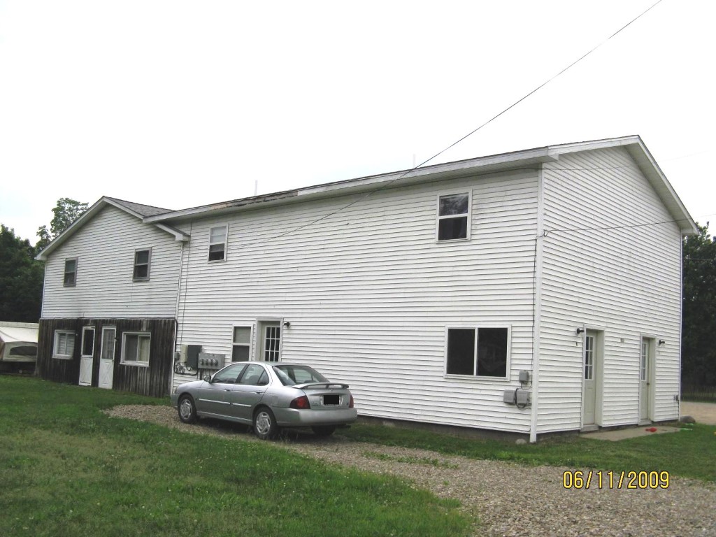
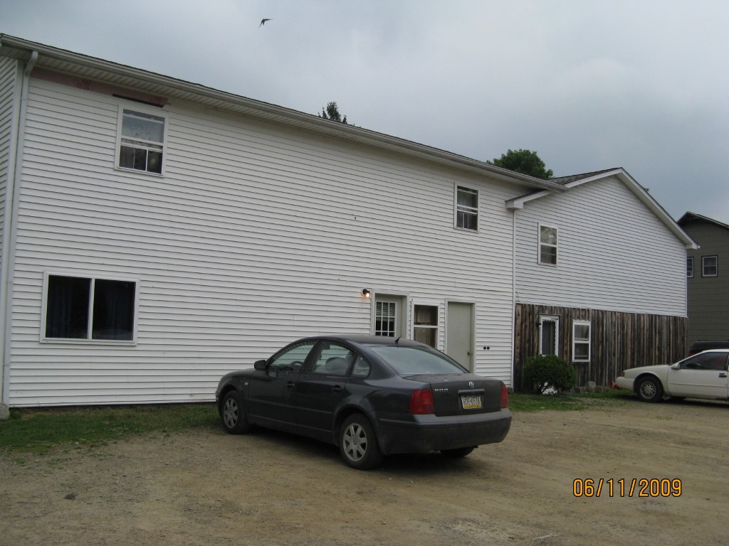
Address: 14393 CENTER STREET
Parcel: 48001006000100
Parcel Profile
Address
14393 | CENTER | STREET
Street Status
PAVED
School District
WATTSBURG SCHOOL
Acreage
0.5041
Classification
C
Land Use Code
OFFICE BLDGS/LABS/LIBRARIES
Legal Description
14393 95 CENTER ST 144 X 152.5
Square Feet
2652
Topo
LEVEL
Utility
GAS | WELL | SEPTIC
Zoning
Please contact your municipal zoning officer
Deed Book
2022
Deed Page
019862
2026 Tax Values
Land Value / Taxable
32,900 / 32,900.00
Building Value / Taxable
52,300 / 52,300.00
Total Value / Taxable
85,200 / 85,200.00
Clean & Green
Inactive
Homestead Status
Inactive
Farmstead Status
Inactive
Lerta Amount
0
Lerta Expiration Year
0
Commercial Data
Card 1
MIXED RES/COMM
Business Living Area - 2652
Year Built - 1865
Improvement Name - APARTMENTS
Value - 52270
Other Buildings & Yards
No OBY Data Found
Sales History
Sale Date
Type
Price
Book / Page
Other Info
9/9/2022
LAND & BUILDING
140000
2022 / 019862
DEED
3/31/2017
LAND & BUILDING
95000
2017 / 006586
SPECIAL WARRANTY DEED
6/21/2002
LAND & BUILDING
62000
892 / 1113
WARRANTY/SURVIVORSHIP DEED
5/14/1990
0
0122 / 0050
Parcel Sketches
Commercial Card 1
A
MAIN
988 square feet
B
MAIN
832 square feet
C
MAIN
832 square feet
Parcel Images
Please note:
this tab is for informational purposes only and may not show all delinquencies, see the Taxes tab for more accurate delinquent taxes due.