Elected Officials
Courts
Departments
Initiatives
Open Government
About
Login / Register
Home
/
Property & Tax Records
/
Property Records
/
Property & Tax Search
/
Parcel Profile
/
Print View
Search for Another Parcel
Parcel Profile
Historical Card
Sketches
Photos
Tax Map
Taxes
Print View
Print This Page
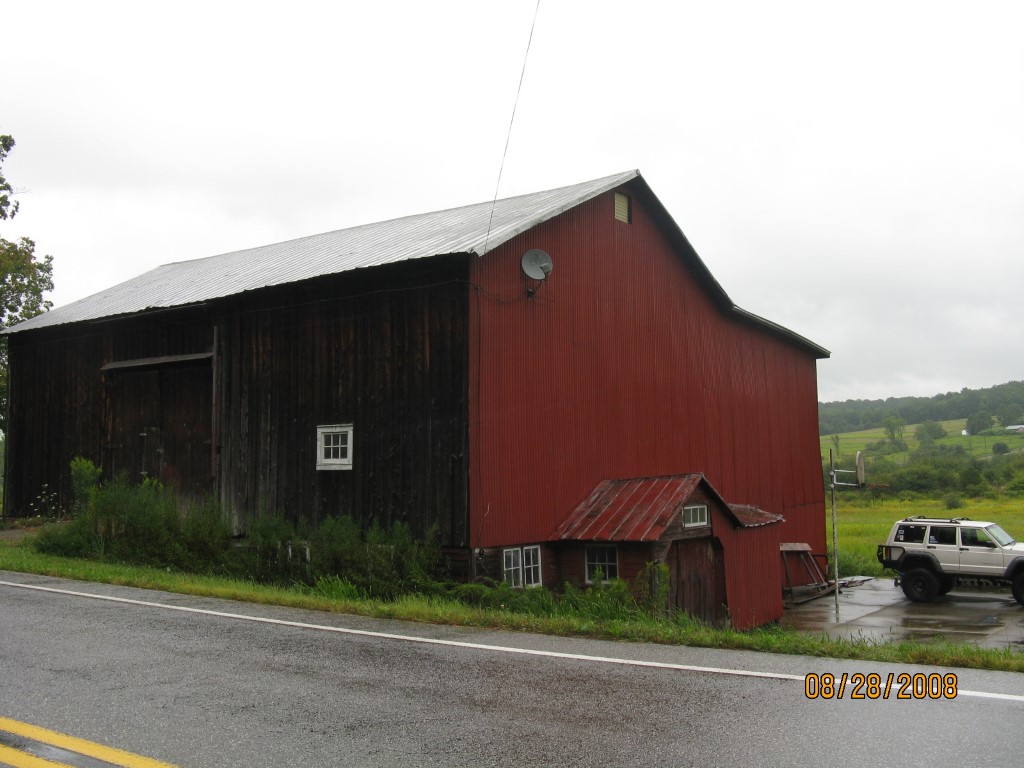
Address: HARE CREEK RD
Parcel: 49003006000100
Parcel Profile
Address
0 | HARE CREEK | RD
Street Status
PAVED
School District
CORRY AREA SCHOOL
Acreage
33.5000
Classification
F
Land Use Code
OUT BUILDINGS ONLY: NOT LIVING UNITS
Legal Description
HARE CREEK RD TR 2056 | 33.5 AC
Topo
LEVEL
Utility
WELL | SEPTIC
Zoning
Please contact your municipal zoning officer
Deed Book
2010
Deed Page
032477
2026 Tax Values
Land Value / Taxable
26,800 / 26,800.00
Building Value / Taxable
15,200 / 15,200.00
Total Value / Taxable
42,000 / 42,000.00
Clean & Green
Inactive
Homestead Status
Inactive
Farmstead Status
Inactive
Lerta Amount
0
Lerta Expiration Year
0
Other Buildings & Yards
No OBY Data Found
Sales History
Sale Date
Type
Price
Book / Page
Other Info
12/23/2010
LAND & BUILDING
155000
2010 / 032477
FIDUCIARY DEED
5/2/1977
49900
1261 / 0299
4/18/1968
0
0979 / 0594
3/2/1944
0
0441 / 0238
Parcel Sketches
Invalid Parcel Number or No Sketches on File
Parcel Images
Please note:
this tab is for informational purposes only and may not show all delinquencies, see the Taxes tab for more accurate delinquent taxes due.