Elected Officials
Courts
Departments
Initiatives
Open Government
About
Login / Register
Home
/
Property & Tax Records
/
Property Records
/
Property & Tax Search
/
Parcel Profile
/
Print View
Search for Another Parcel
Parcel Profile
Historical Card
Sketches
Photos
Tax Map
Taxes
Print View
Print This Page
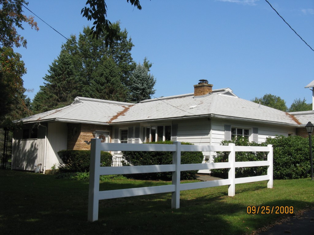
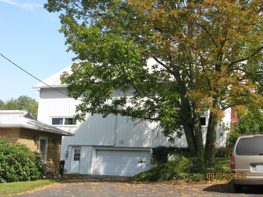
Address: 13552 W SMITH ST EXT
Parcel: 49016033000901
Parcel Profile
Address
13552 | W | SMITH ST | EXT
Street Status
PAVED
School District
CORRY AREA SCHOOL
Acreage
1.4720
Classification
R
Land Use Code
SINGLE FAMILY
Legal Description
13552 W SMITH ST EXT LOT 1 1.472 AC NET | REF MB 2002-16 & 2001-145
Square Feet
3002
Topo
LEVEL
Utility
ALL PUBLIC
Zoning
Please contact your municipal zoning officer
Deed Book
2014
Deed Page
015091
2026 Tax Values
Land Value / Taxable
13,100 / 13,100.00
Building Value / Taxable
105,560 / 105,560.00
Total Value / Taxable
118,660 / 118,660.00
Clean & Green
Inactive
Homestead Status
Active
Farmstead Status
Inactive
Lerta Amount
0
Lerta Expiration Year
0
Residential Data
Card 1
Style
RANCH
Basement
NONE
Year Built
1925
Exterior Wall
MASONRY & FRAME
Total Living Area
3002
Full Baths
2
Half Baths
1
Fuel Type
GAS
Heating
CENTRAL A/C
Heating System
FORCED AIR
Stories
1.0
Total Bedrooms
2
Total Family Rooms
0
Total Rooms
5
Fireplaces
0
Other Buildings & Yards
Description
Built
Width
Length
Area
BANK BARN
1950
40
50
2000
DETACHED OPEN FR PORCH
1950
6
12
72
Sales History
Sale Date
Type
Price
Book / Page
Other Info
7/23/2014
LAND & BUILDING
0
2014 / 015091
SPECIAL WARRANTY DEED
2/28/2006
LAND & BUILDING
175000
1309 / 1003
FIDUCIARY DEED
10/1/1969
LAND & BUILDING
22500
1011 / 295
Parcel Sketches
Residential Card 1
A
MAIN
1250 square feet
B
MA_PT CONC/MAS PATIO
196 square feet
C
1S FR ONE STORY FRAME
663 square feet
D
FROVR FRAME OVERHANG
441 square feet
E
WDDCK WOOD DECKS
160 square feet
F
1S FR ONE STORY FRAME
648 square feet
Parcel Images
Please note:
this tab is for informational purposes only and may not show all delinquencies, see the Taxes tab for more accurate delinquent taxes due.