Elected Officials
Courts
Departments
Initiatives
Open Government
About
Login / Register
Home
/
Property & Tax Records
/
Property Records
/
Property & Tax Search
/
Parcel Profile
/
Print View
Search for Another Parcel
Parcel Profile
Historical Card
Sketches
Photos
Tax Map
Taxes
Print View
Print This Page
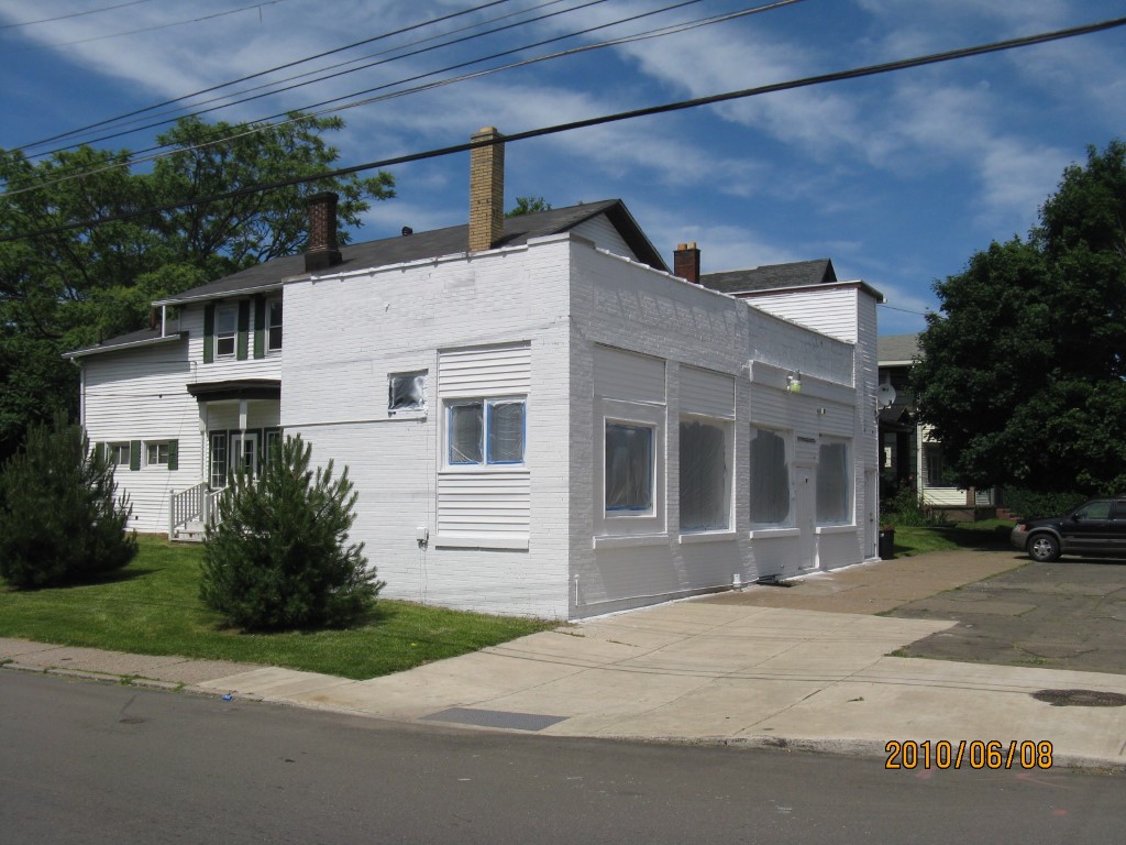
Address: 606 E 10 ST
Parcel: 15020031012600
Parcel Profile
Address
606 | E | 10 | ST
Street Status
PAVED | SIDEWALK
School District
CITY OF ERIE SCHOOL
Acreage
0.1485
Classification
C
Land Use Code
RESTAURANTS, STORES (RETAIL)
Legal Description
606 E 10 ST 77X84
Square Feet
3141
Topo
LEVEL
Utility
ALL PUBLIC
Zoning
Please contact your municipal zoning officer
Deed Book
2013
Deed Page
008734
2026 Tax Values
Land Value / Taxable
9,700 / 9,700.00
Building Value / Taxable
57,900 / 57,900.00
Total Value / Taxable
67,600 / 67,600.00
Clean & Green
Inactive
Homestead Status
Active
Farmstead Status
Inactive
Lerta Amount
0
Lerta Expiration Year
0
Commercial Data
Card 1
MIXED RES/COMM
Business Living Area - 3141
Year Built - 1894
Improvement Name - VACANT STORE/APTS
Value - 55360
Other Buildings & Yards
Description
Built
Width
Length
Area
PAVING ASPHALT/CONCRETE
1980
0
0
2000
Sales History
Sale Date
Type
Price
Book / Page
Other Info
4/12/2013
LAND & BUILDING
60000
2013 / 008734
DEED
5/27/2008
LAND & BUILDING
70000
1497 / 0479
DEED
5/21/2001
LAND & BUILDING
20500
776 / 240
Parcel Sketches
Commercial Card 1
A
MAIN
2022 square feet
B
MAIN
846 square feet
C
MAIN
1203 square feet
D
MAIN
1092 square feet
Parcel Images
Please note:
this tab is for informational purposes only and may not show all delinquencies, see the Taxes tab for more accurate delinquent taxes due.