Elected Officials
Courts
Departments
Initiatives
Open Government
About
Login / Register
Home
/
Property & Tax Records
/
Property Records
/
Property & Tax Search
/
Parcel Profile
/
Print View
Search for Another Parcel
Parcel Profile
Historical Card
Sketches
Photos
Tax Map
Taxes
Print View
Print This Page
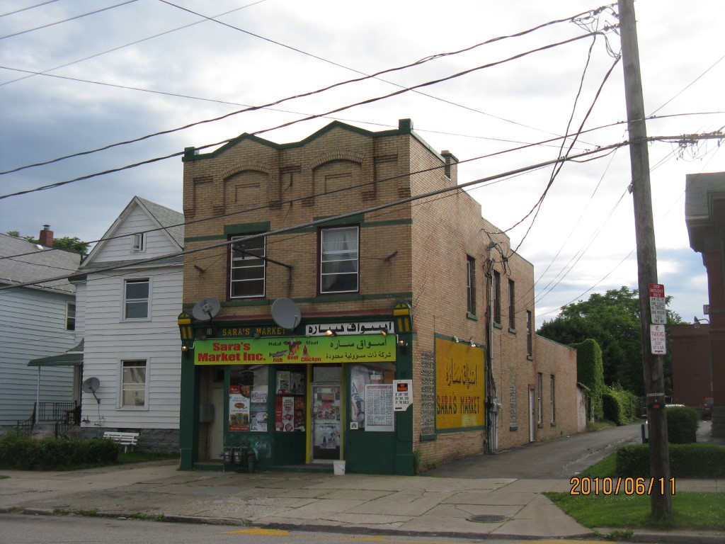
Address: 915 EAST AVE
Parcel: 15020045012300
Parcel Profile
Address
915 | EAST | AVE
Street Status
PAVED | SIDEWALK
School District
CITY OF ERIE SCHOOL
Acreage
0.0861
Classification
R
Land Use Code
RES VACANT
Legal Description
915 EAST AVE 30X125
Topo
LEVEL
Utility
ALL PUBLIC
Zoning
Please contact your municipal zoning officer
Deed Book
2026
Deed Page
011201
2026 Tax Values
Land Value / Taxable
5,600 / 5,600.00
Building Value / Taxable
0 / 0.00
Total Value / Taxable
5,600 / 5,600.00
Clean & Green
Inactive
Homestead Status
Inactive
Farmstead Status
Inactive
Lerta Amount
0
Lerta Expiration Year
0
Other Buildings & Yards
No OBY Data Found
Sales History
Sale Date
Type
Price
Book / Page
Other Info
6/26/2026
LAND
4000
2026 / 011201
DEED
7/12/2023
LAND & BUILDING
0
2023 / 011218
DECLARATION OF TAKING
11/10/2022
LAND & BUILDING
7000
2022 / 024134
QUIT CLAIM DEED
8/19/2020
LAND & BUILDING
9000
2020 / 016302
QUIT CLAIM DEED
10/25/2018
LAND & BUILDING
6000
2018 / 022082
SPECIAL WARRANTY DEED
3/24/2016
LAND & BUILDING
5000
2016 / 005796
QUIT CLAIM DEED
2/10/2016
LAND & BUILDING
10432
2016 / 002828
TAX DEED
11/19/2007
LAND & BUILDING
55000
1460 / 2036
WARRANTY/SURVIVORSHIP DEED
9/19/2007
LAND & BUILDING
0
1448 / 0277
SHERIFF'S DED
3/1/2002
LAND & BUILDING
77500
858 / 382
Parcel Sketches
Invalid Parcel Number or No Sketches on File
Parcel Images
Please note:
this tab is for informational purposes only and may not show all delinquencies, see the Taxes tab for more accurate delinquent taxes due.