Elected Officials
Courts
Departments
Initiatives
Open Government
About
Login / Register
Home
/
Property & Tax Records
/
Property Records
/
Property & Tax Search
/
Parcel Profile
/
Print View
Search for Another Parcel
Parcel Profile
Historical Card
Sketches
Photos
Tax Map
Taxes
Print View
Print This Page
Address: 1515 EAST AVE
Parcel: 15020052010500
Parcel Profile
Address
1515 | EAST | AVE
Street Status
PAVED
School District
CITY OF ERIE SCHOOL
Acreage
10.8050
Classification
C
Land Use Code
WAREHOUSES
Legal Description
1515 EAST AVE 10.805 AC NET
Square Feet
14304
Topo
LEVEL
Utility
ALL PUBLIC
Zoning
Please contact your municipal zoning officer
Deed Book
2021
Deed Page
031905
2026 Tax Values
Land Value / Taxable
486,950 / 486,950.00
Building Value / Taxable
31,900 / 31,900.00
Total Value / Taxable
518,850 / 518,850.00
Clean & Green
Inactive
Homestead Status
Inactive
Farmstead Status
Inactive
Lerta Amount
0.00
Lerta Expiration Year
2018
Commercial Data
Card 1
OFFICE/WAREHOUSE
Business Living Area - 3570
Year Built - 1963
Improvement Name - LIMCO
Value - 80380
Card 2
WAREHOUSE
Business Living Area - 10734
Year Built - 1975
Improvement Name - LIMCO
Value - 108340
Card 3
PREFAB WAREHOUSE
Business Living Area - 0
Year Built - 1969
Improvement Name - LIMCO
Value - 0
Other Buildings & Yards
No OBY Data Found
Sales History
Sale Date
Type
Price
Book / Page
Other Info
12/2/2021
LAND & BUILDING
3119800
2021 / 031905
SPECIAL WARRANTY DEED
10/18/2021
LAND & BUILDING
0
2021 / 027785
CORRECTIVE DEED
9/28/2018
LAND & BUILDING
0
2018 / 020013
SPECIAL WARRANTY DEED
7/19/2007
LAND & BUILDING
0
1432 / 2338
SPECIAL WARRANTY DEED
12/13/1994
0
0366 / 1024
Parcel Sketches
Commercial Card 1
A
MAIN
1945 square feet
B
MAIN
1625 square feet
Commercial Card 2
A
MAIN
5040 square feet
B
MAIN
2063 square feet
C
MAIN
3631 square feet
Commercial Card 3
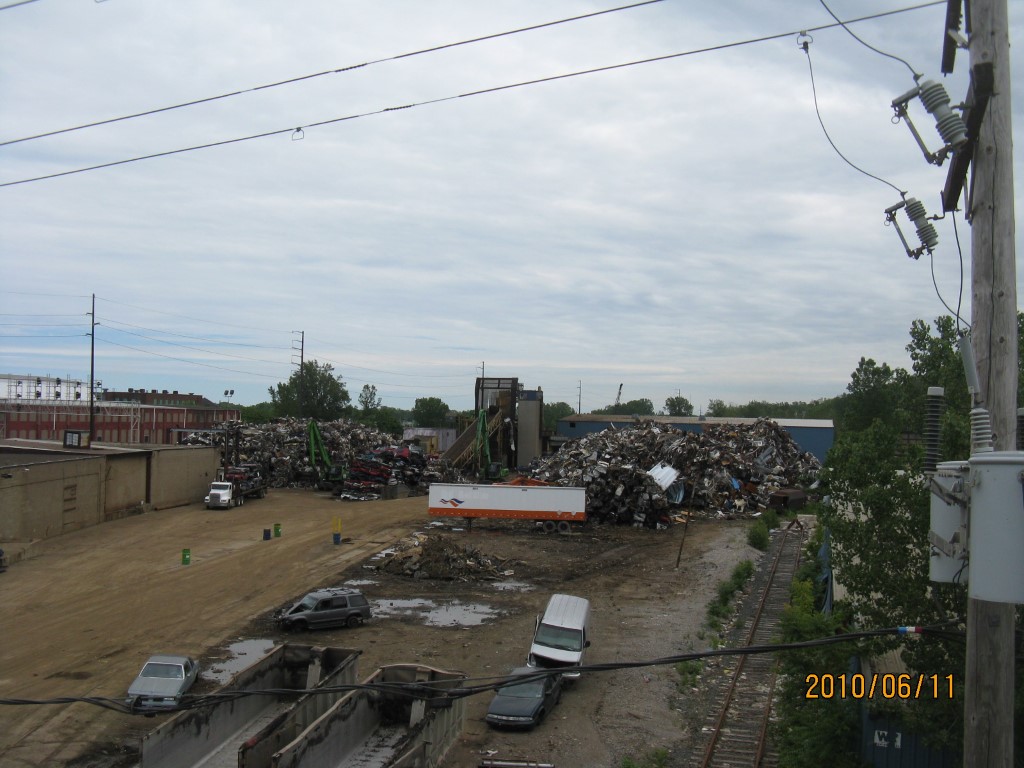
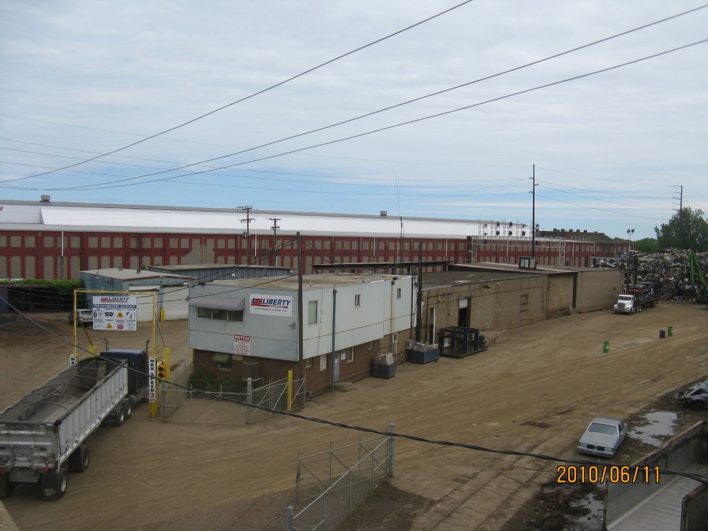
Parcel Images
Please note:
this tab is for informational purposes only and may not show all delinquencies, see the Taxes tab for more accurate delinquent taxes due.