Elected Officials
Courts
Departments
Initiatives
Open Government
About
Login / Register
Home
/
Property & Tax Records
/
Property Records
/
Property & Tax Search
/
Parcel Profile
/
Print View
Search for Another Parcel
Parcel Profile
Historical Card
Sketches
Photos
Tax Map
Taxes
Print View
Print This Page
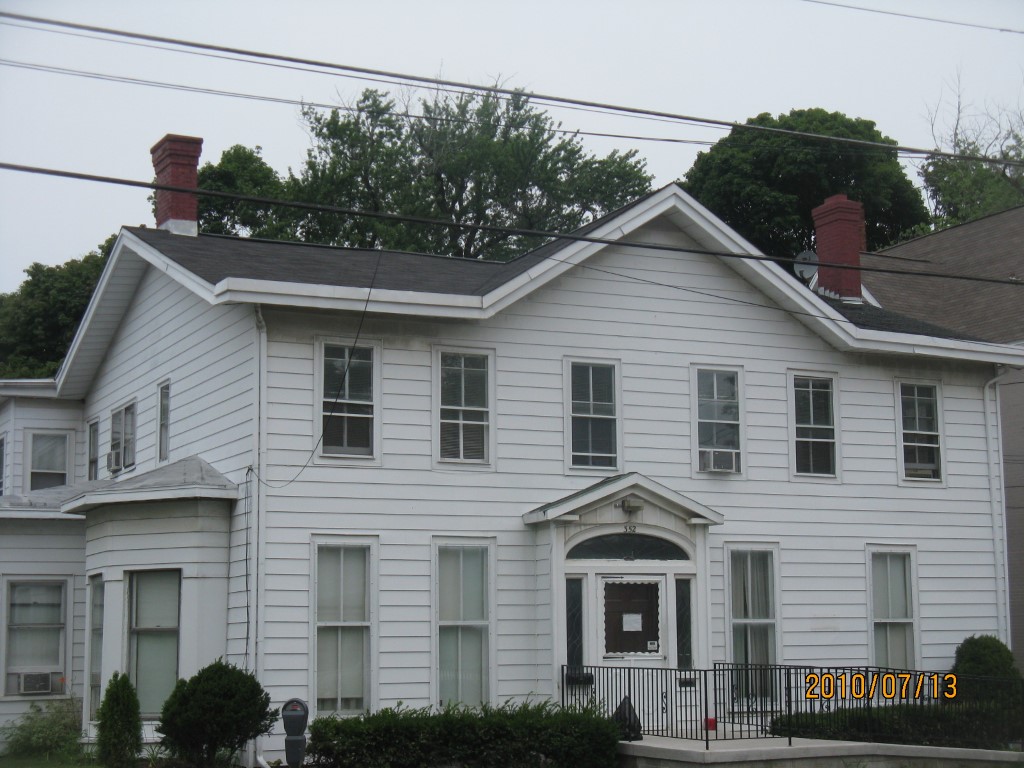
Address: 352 W 8 ST
Parcel: 17040010012500
Parcel Profile
Address
352 | W | 8 | ST
Street Status
PAVED
School District
CITY OF ERIE SCHOOL
Acreage
0.3125
Classification
C
Land Use Code
OFFICE BLDGS/LABS/LIBRARIES
Legal Description
352 W 8 ST 82.5 X 165
Square Feet
8642
Topo
LEVEL
Utility
ALL PUBLIC
Zoning
Please contact your municipal zoning officer
Deed Book
1512
Deed Page
0277
2026 Tax Values
Land Value / Taxable
40,800 / 40,800.00
Building Value / Taxable
47,600 / 47,600.00
Total Value / Taxable
88,400 / 88,400.00
Clean & Green
Inactive
Homestead Status
Inactive
Farmstead Status
Inactive
Lerta Amount
0.00
Lerta Expiration Year
2019
Commercial Data
Card 1
RESIDENTIAL 3 FAMILY
Business Living Area - 6521
Year Built - 1892
Improvement Name - RESIDENTIAL APARTMENTS
Value - 107550
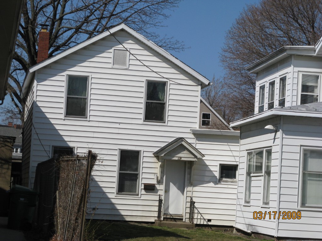
Card 2
RESIDENTIAL 1 FAMILY
Business Living Area - 2121
Year Built - 1892
Improvement Name - SINGLE FAMILY DWELLING
Value - 41200
Other Buildings & Yards
Description
Built
Width
Length
Area
FRAME OR CB DETACHED GARAGE
1930
27
46
1242
PAVING ASPHALT PARKING
1970
0
0
2800
Sales History
Sale Date
Type
Price
Book / Page
Other Info
7/31/2008
LAND & BUILDING
53000
1512 / 0277
SPECIAL WARRANTY DEED
3/27/2007
LAND & BUILDING
0
1403 / 2299
SHERIFF'S DED
11/1/1950
0
0580 / 0116
Parcel Sketches
Commercial Card 1
A
MAIN
2269 square feet
B
MAIN
2269 square feet
C
MAIN
1983 square feet
Commercial Card 2
A
MAIN
680 square feet
B
MAIN
761 square feet
C
MAIN
680 square feet
Parcel Images
Please note:
this tab is for informational purposes only and may not show all delinquencies, see the Taxes tab for more accurate delinquent taxes due.