Elected Officials
Courts
Departments
Initiatives
Open Government
About
Login / Register
Home
/
Property & Tax Records
/
Property Records
/
Property & Tax Search
/
Parcel Profile
/
Print View
Search for Another Parcel
Parcel Profile
Historical Card
Sketches
Photos
Tax Map
Taxes
Print View
Print This Page
Address: 100 POPLAR ST
Parcel: 17040039010100
Parcel Profile
Address
100 | POPLAR | ST
Street Status
PAVED
School District
CITY OF ERIE SCHOOL
Acreage
0.3700
Classification
A
Land Use Code
APARTMENTS 4 - 19 UNITS
Legal Description
100 POPLAR ST 147.51 X 123 IRREG | 0.37 AC
Square Feet
15016
Topo
LEVEL
Utility
ALL PUBLIC
Zoning
Please contact your municipal zoning officer
Deed Book
2022
Deed Page
022867
2026 Tax Values
Land Value / Taxable
128,900 / 128,900.00
Building Value / Taxable
1,718,400 / 343,680.00
Total Value / Taxable
1,847,300 / 472,580.00
Clean & Green
Inactive
Homestead Status
Inactive
Farmstead Status
Inactive
Lerta Amount
0
Lerta Expiration Year
0
Commercial Data
Card 1
APARTMENTS - GARDEN
Business Living Area - 4834
Year Built - 2024
Improvement Name - LAKEHOUSE 2 APARTMENTS
Value - 576530
Card 2
APARTMENTS HIGH RISE
Business Living Area - 10182
Year Built - 2024
Improvement Name - LAKEHOUSE 1 APARTMENTS
Value - 1122700
Other Buildings & Yards
No OBY Data Found
Sales History
Sale Date
Type
Price
Book / Page
Other Info
10/24/2022
LAND & BUILDING
0
2022 / 022867
QUIT CLAIM DEED
10/8/2021
LAND & BUILDING
412500
2021 / 027087
SPECIAL WARRANTY DEED
3/29/2018
LAND & BUILDING
149000
2018 / 005811
SPECIAL WARRANTY DEED
4/20/2005
LAND & BUILDING
2199
1227 / 0024
DEED
7/3/1972
0
1072 / 0338
Parcel Sketches
Commercial Card 1
A
MAIN
2260 square feet
B
MAIN
2574 square feet
Commercial Card 2
A
MAIN
3342 square feet
B
MAIN
3420 square feet
C
MAIN
3420 square feet
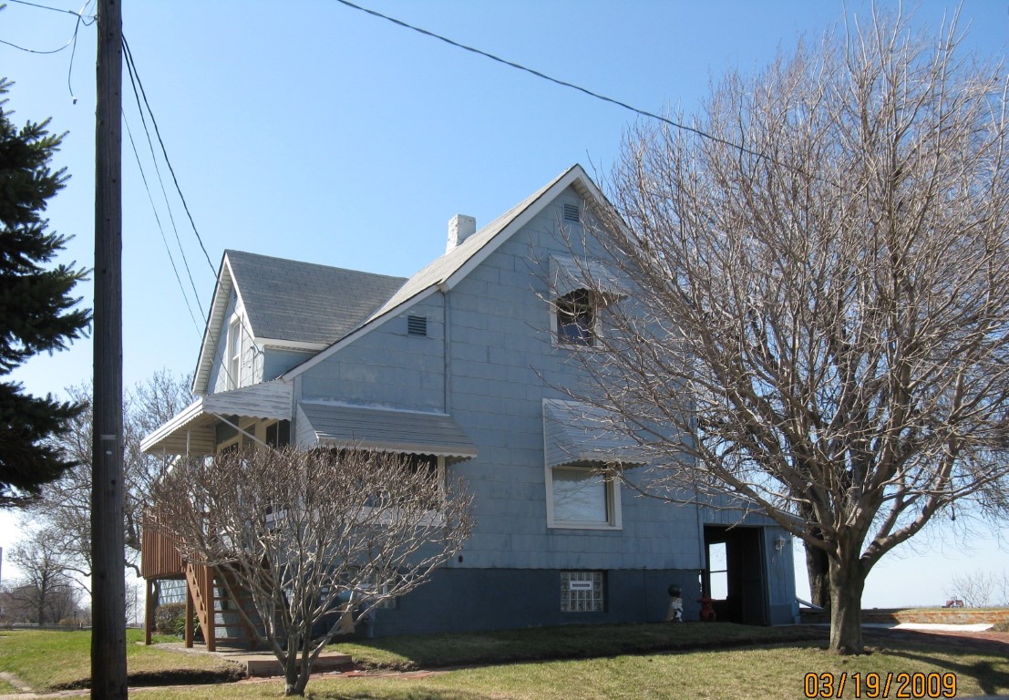
Parcel Images
Please note:
this tab is for informational purposes only and may not show all delinquencies, see the Taxes tab for more accurate delinquent taxes due.