Elected Officials
Courts
Departments
Initiatives
Open Government
About
Login / Register
Home
/
Property & Tax Records
/
Property Records
/
Property & Tax Search
/
Parcel Profile
/
Print View
Search for Another Parcel
Parcel Profile
Historical Card
Sketches
Photos
Tax Map
Taxes
Print View
Print This Page
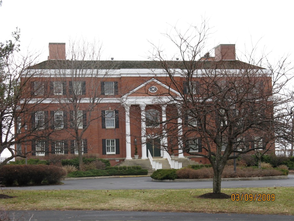
Address: 1348 S SHORE
Parcel: 17041040020100
Parcel Profile
Address
1348 | S | SHORE
Street Status
PRIVATE
School District
CITY OF ERIE SCHOOL
Acreage
2.8999
Classification
C
Land Use Code
COMMERCIAL COMMON AREA
Legal Description
WOODBRIAR LN 126324 SQ FT
Square Feet
16020
Topo
LEVEL
Utility
ALL PUBLIC
Zoning
Please contact your municipal zoning officer
Deed Book
1314
Deed Page
0317
2026 Tax Values
Land Value / Taxable
0 / 0.00
Building Value / Taxable
0 / 0.00
Total Value / Taxable
0 / 0.00
Clean & Green
Inactive
Homestead Status
Inactive
Farmstead Status
Inactive
Lerta Amount
0
Lerta Expiration Year
0
Commercial Data
Card 1
CONDO FEE SIMPLE
Business Living Area - 16020
Year Built - 1988
Improvement Name - SOUTH SHORE WEST CONDOMINIUM
Value - 1741140
Other Buildings & Yards
No OBY Data Found
Sales History
Sale Date
Type
Price
Book / Page
Other Info
7/27/1978
0
1314 / 0317
Parcel Sketches
Commercial Card 1
A
MAIN
5340 square feet
B
MAIN
5340 square feet
C
MAIN
5340 square feet
Parcel Images
Please note:
this tab is for informational purposes only and may not show all delinquencies, see the Taxes tab for more accurate delinquent taxes due.